Data Science for Informed Decisions
USE CASES
Next Gen Analytics and Consulting
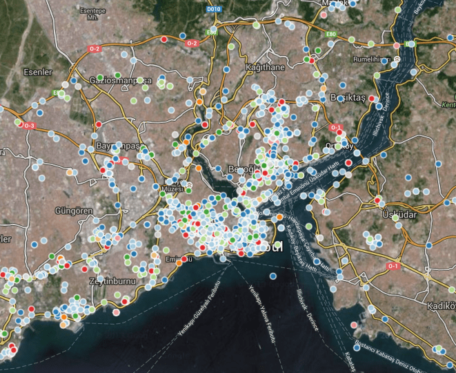
Location Based Customer Segmentation
Mission: Create or improve customer segmentation based on Usage & Location Data
- Location & Usage based pattern for prepaid markets
- Real time customer segmentation for mature market
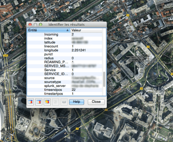
Complex Fraud Management
Mission: Data Discovery Approach to identify Fraud Pattern
- Non-Coherent account (IMSI and MSISDN for the same account, from different countries,…)
- Modified IMEI (stolen devices, jailbreak, rooted devices,...)
- Tracking of stolen devices (location, user)
- Unauthorized usages (M2M with regular subscription and vice versa)
- Retail Network Fraud detection
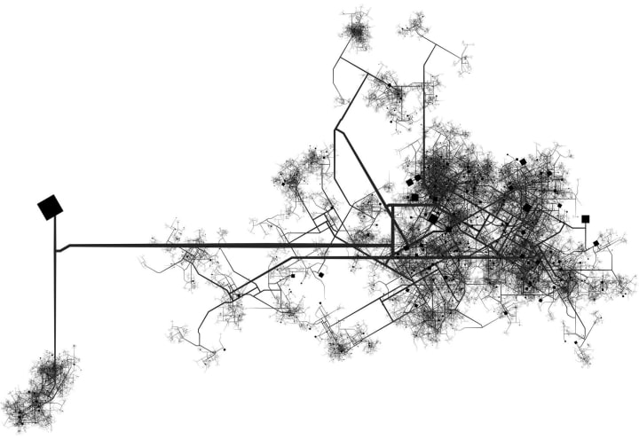
Advanced Network Planning
Mission: Improve Network Planning for Hetnets, Small Cells, LTE advanced and future 4G/5G features
- Next Gen Network Roll out and Capacity Planning
- Network Porosity
- 4G deployment and eligible customer alerting
- Matchmaking between handset capabilities/presence and network coverage (3G, Dual Carrier, 4G)
- Large Events coverage management
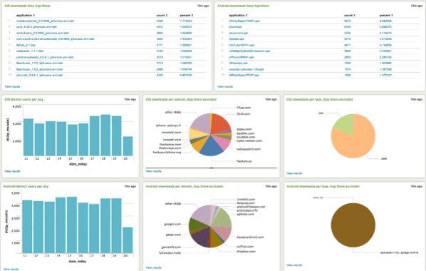
Mobile Malware Detection
Mission: Detect & Identify Malware downloaded by Mobile Users
- Real time malware download or usage on Mobile Networks
- Malware Reverse Engineering
DATA FOR DEVELOPMENT
Our Analytics supports mobile operators, tech providers and development agencies in leveraging data

Social Media Analytics
Sentiment analytics and influencers’ mapping based on social media
- Deep dive into social media usage
- Mapping of trends and influence
- Natural Language Processing (NLP) from Tweets & Facebook pages in Arabic
- Sentiment analysis

Water Sanitation (NextDrop, India for the GSMA)
Customer Analytics applied to water sanitation
- Support to a service notifying customers of fresh supply of water (date and time) in Bangalore area
- Assessment of water distribution systems
- Customer Journey analytics
- Evaluation of the service
Digital Inclusion in Africa
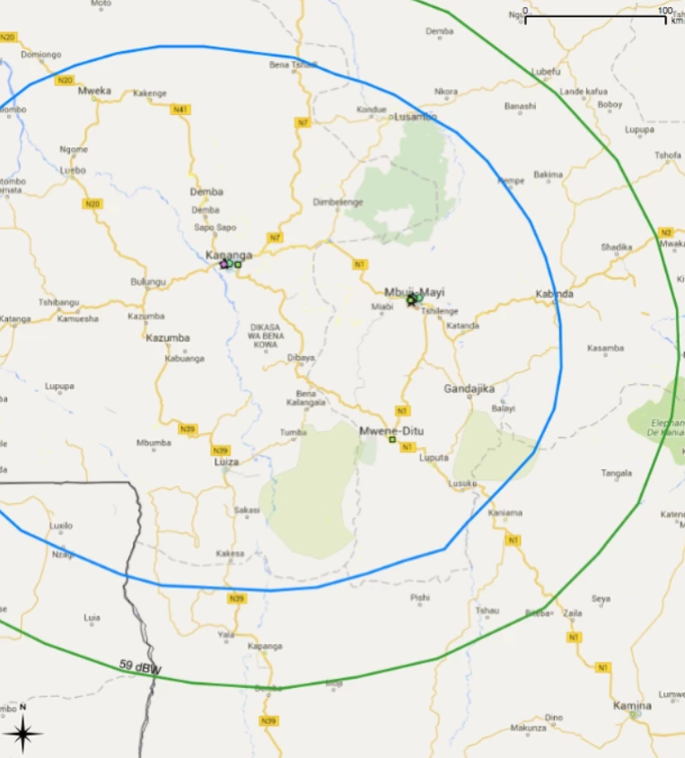
Reaching the last mile: targeting areas with no connectivity in sub-Saharan Africa
- Identification of underserved areas with no or little access to connectivity (less than 1 Mbps)
- Focus on public services such as hospitals or schools
- Development of geo-marketing tools based on QGIS to pinpoint target segments of beneficiaries or areas by type
m-Health (HNI, for the GSMA)
Analytic assessment of mobile insurance product targeting farmers
- Support to a free on-demand information resource accessible using simple mobile phones
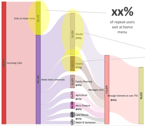
- Customer journey analytics leveraging data points from 3 million users
- Sankey data visualization to identify areas for improvement
- Evaluation of the service

m-Insurance (the One Acre Fund, for the GSMA)
Analytic assessment of mobile insurance product targeting farmers
- Support to the development and offering of affordable index-based and indemnity-based micro insurance products
- Customer Journey analytics
- Review of the business model
- Evaluation of the service

Detection of Rural Markets using CDR data
Mapping of Rural Markets (and definition of catchment areas)
- Data-driven method to detect & describe periodic gatherings (rural markets, sports events,...) in the target areas
- Leverage this information to design a strategy for service providers to reach out more effectively to rural customers
- Project successfully implemented in one country of East Africa

Mapping of human gatherings without mobile connectivity
Analysis of satellite imagery, population distribution maps and connectivity data to map untapped demand
- Connectivity Gap Analysis through mapping of potential demand for connectivity (based on population distribution, human settlements, literacy ratios, HDI index,...) combined with existing connectivity supply (2G, 3G, Wi-Fi, FTTH)
- Prioritization of areas most promising to cover from an economic perspective

Quantifying destruction in areas liberated from Islamic State using SAR data
Synthetic-Aperture Radar (SAR) Data Analysis to localize and quantify destruction
- Use of the Sentinel-1 Synthetic Aperture Radar (SAR) data made available by the European Space Agency to identify "incoherence" in radar response
- To enrich the understanding of those incoherent patterns and bring contextual background other sources are used: traditional satellite imagery, VIIRS data, social networks, news media, field research, secondary research, etc
- This allows us not to only to localize damaged/preserved areas, but also to quantify the level of destruction, and – if need be – specify the timing of the destruction
INDUSTRY CHALLENGES
Every single industry should benefit from aggregated and anonymous data

Transport Services
Mission: Public Transportation Optimization & Infrastruture Planning
- Real time trafic management
- Multimodal transportation and users pattern analytics Calibration/planning of transport infrastructure
- Infrastructure Optimization
Public Sector/Tourism
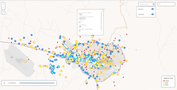
Mission: Tourists visits/pattern in specific point of interest
- Heat Maps of population
- Predictive data on electricity consumption Density & population flows during large events
- Touristic flow analysis
Retail
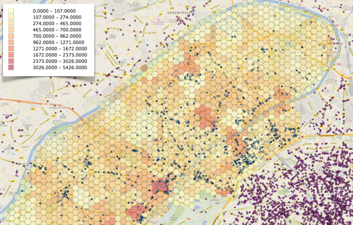
Mission: Catchment Area Study
-
Media Planning
- Location based advertising and marketing campaign
- Feasibility study (optimal location for new stores)
- Competitive analysis
- Shopping Patterns
Emergency Management/Gov.
Mission: Proof of concept for a Telco
- Emergency Platform for Gov.
- Real time reporting on Crisis Impact
- Multi-channels Alerting

Financial Services/Mobile Money
Mission: Dynamic MFS Users and Agent segmentation
- Mobile money agents dynamic geomarketing
- Catchment area for mobile money use cases (Cash in/out, In store Payment,…)
- Customer segmentation for Mobile Financial Services
- Customer & Transactions scoring and Fraud Management based on Location Data
- Customer Journey in mobile money
- Churn Prediction of mobile money users
- Product Adoption Propensity of mobile money users
Want to know more about our Visualization & Geo Analytics solution?

